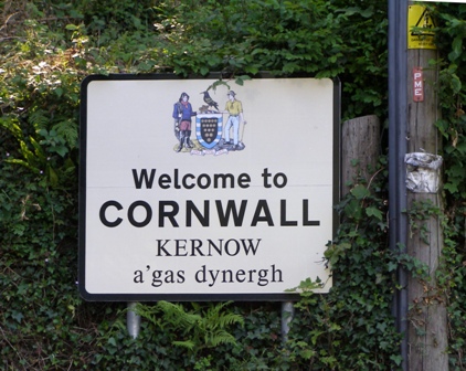
Welcome sign when entering from Devon
Higher-res image
Images on this page are 50-100KB. Each one has a higher resolution image available of 500KB-2MB, with a couple at 6MB
|
Welcome sign when entering from Devon Higher-res image |
WESTERN CORNWALL: Goldsworthys are known to have lived and worked in certain parts of western Cornwall from the mid-16th century
|
Map showing locations of Crowan, Troon and Camborne (relative to Penzance) 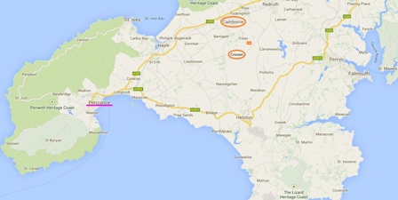 Higher-res image |
CROWAN area: Goldsworthys were known here from at least the 1500s. They would have used the parish church for baptisms, marriages and burials as well as worship.
|
Crowan church from front 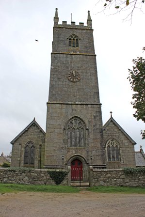 Higher-res image |
|
|
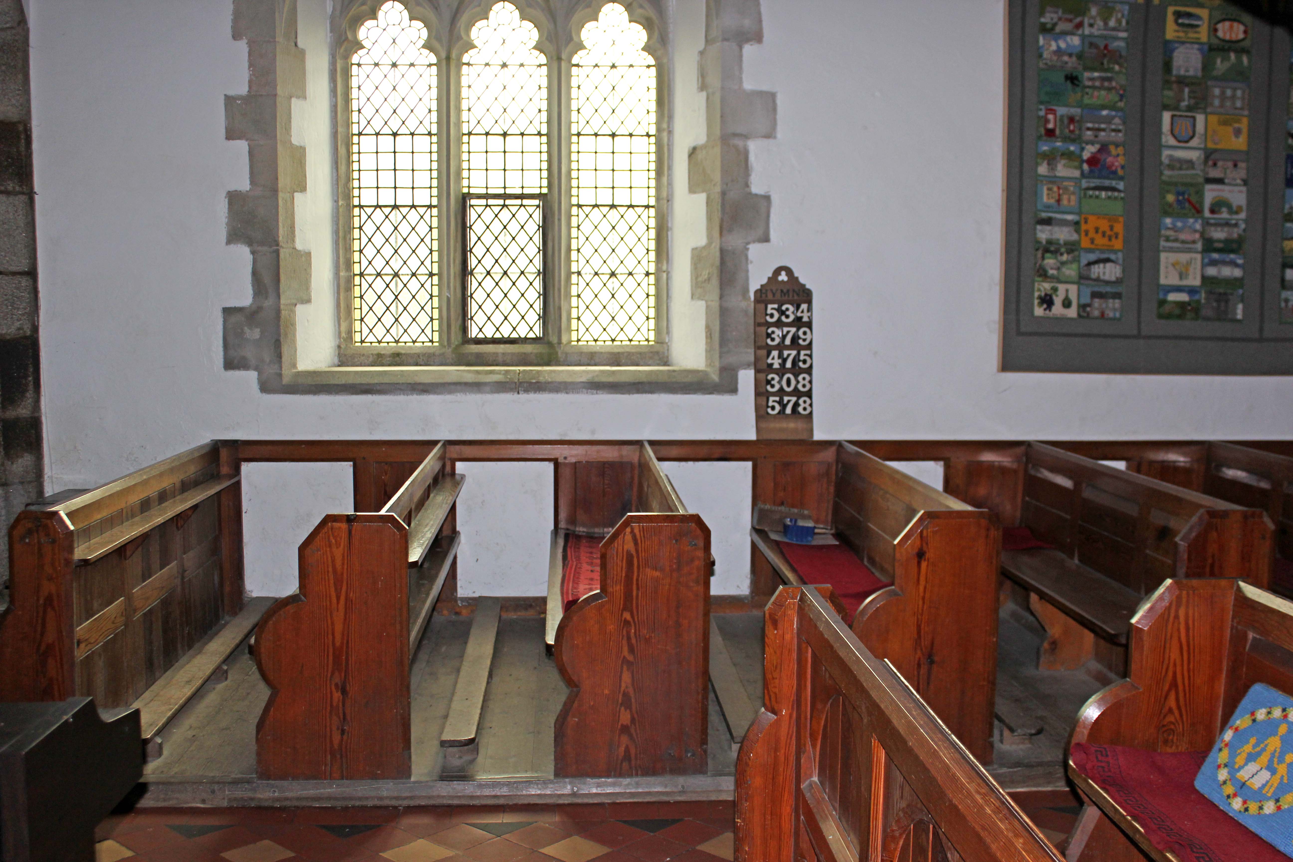
Crowan church interior  Higher-res image |
 Higher-res image |
HIGH DOWNS FARM: John spent many years living on the farm near Troon that his father leased from the late 1700s to 1822. The farm was leased from the Pendarves Estate for an annual rent of £2 1/6d with 5/- additional to the landlord. The names on the lease were Ralph Goldsworthy and his sons John and Ralph, and the lease could last as long as one of them was alive, after which everything would revert to the landlord. Ralph sr was a miner but would use the farm to help feed his family.
|
1806 Family farm plan 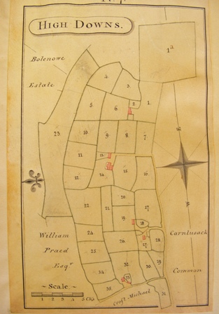 Higher-res image |
Outline of farm in 2013 virtually unchanged 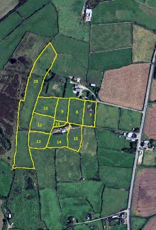 Higher-res image |
|
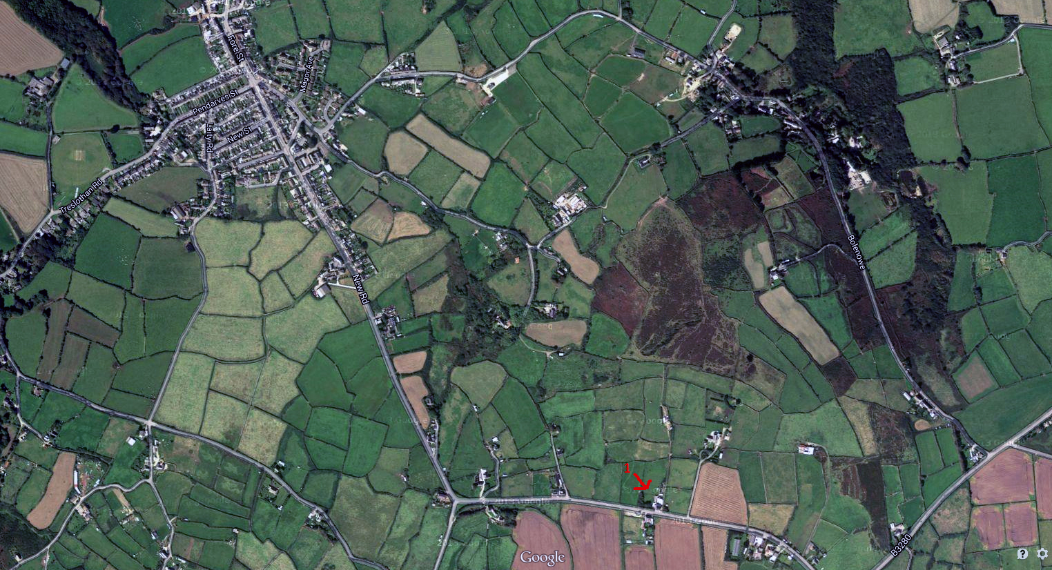
GoogleMaps 2013 image showing Troon 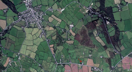 Higher-res image |
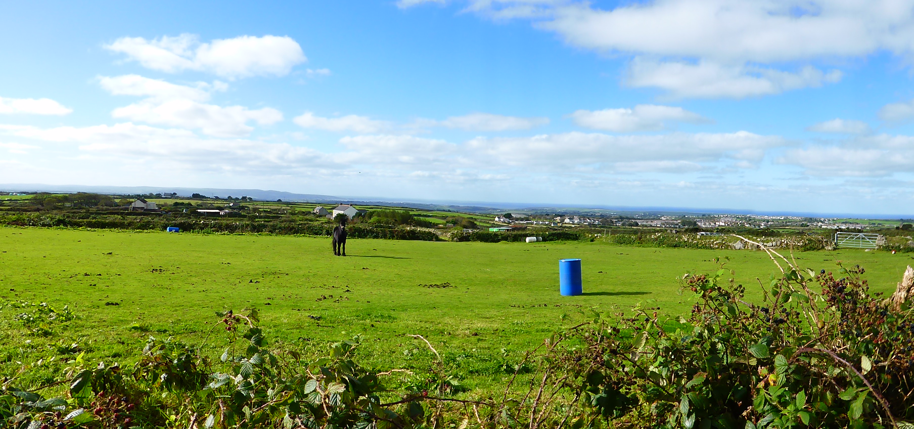
View from farm looking north to the sea 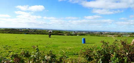 Higher-res image |
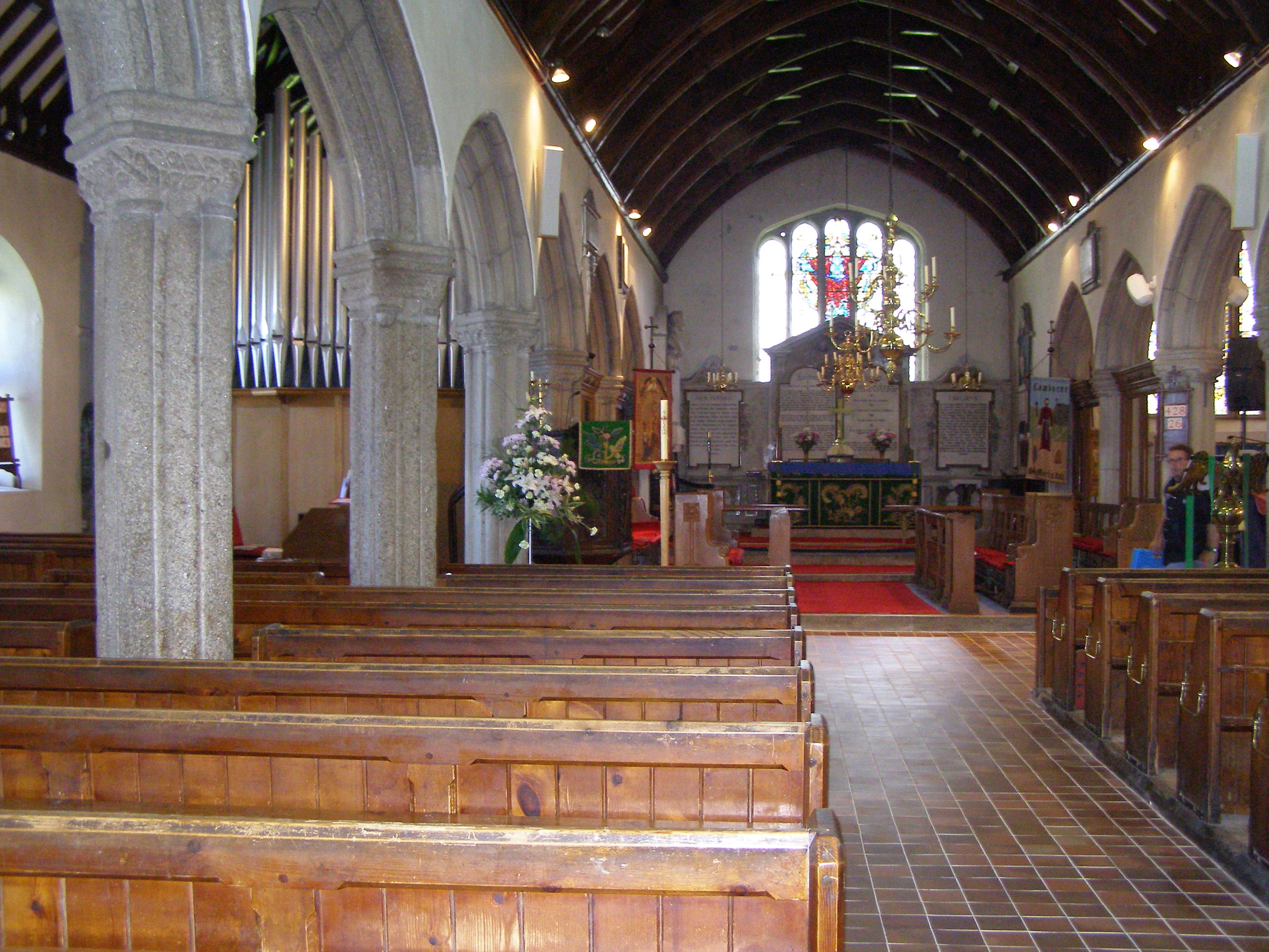
CAMBORNE: John and Mary were married in Camborne parish church. John was a tin miner here, possibly at the South Crofty mine, until the family moved further east in about 1820.
|
Five of their first six children were baptised in this church. 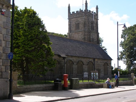 Higher-res image |
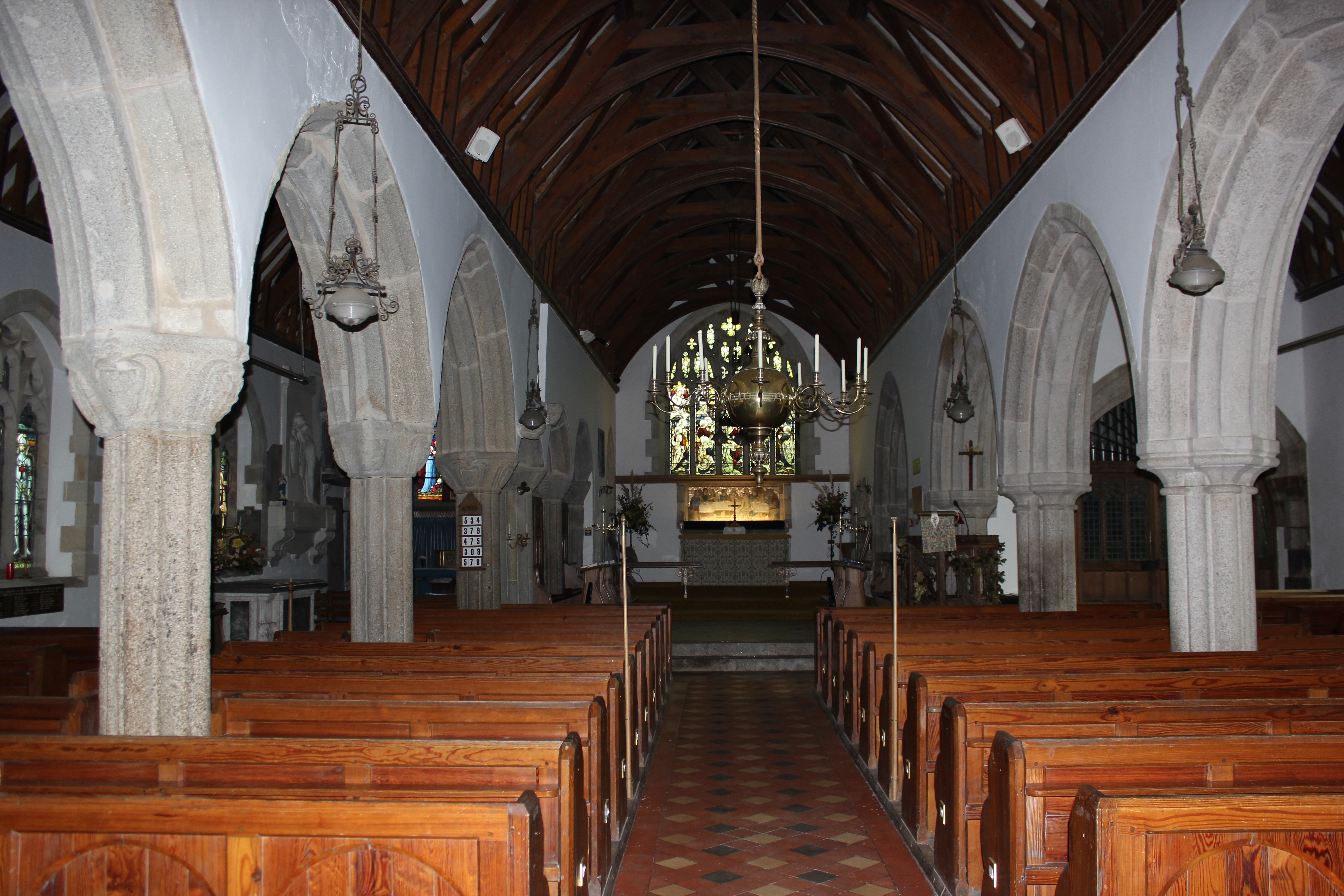
Camborne church interior  Higher-res image |
|
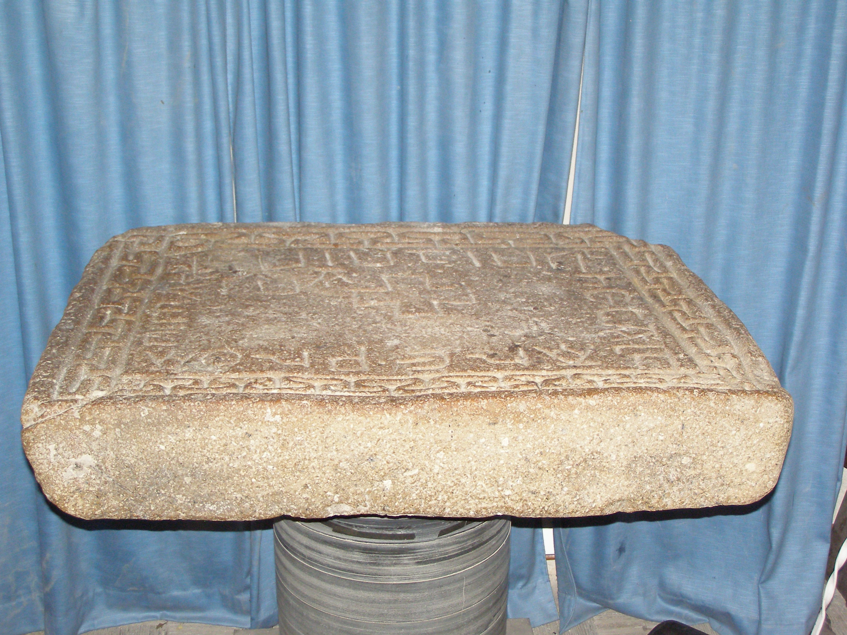
Camborne church's famous 10thC altar stone  Higher-res image |
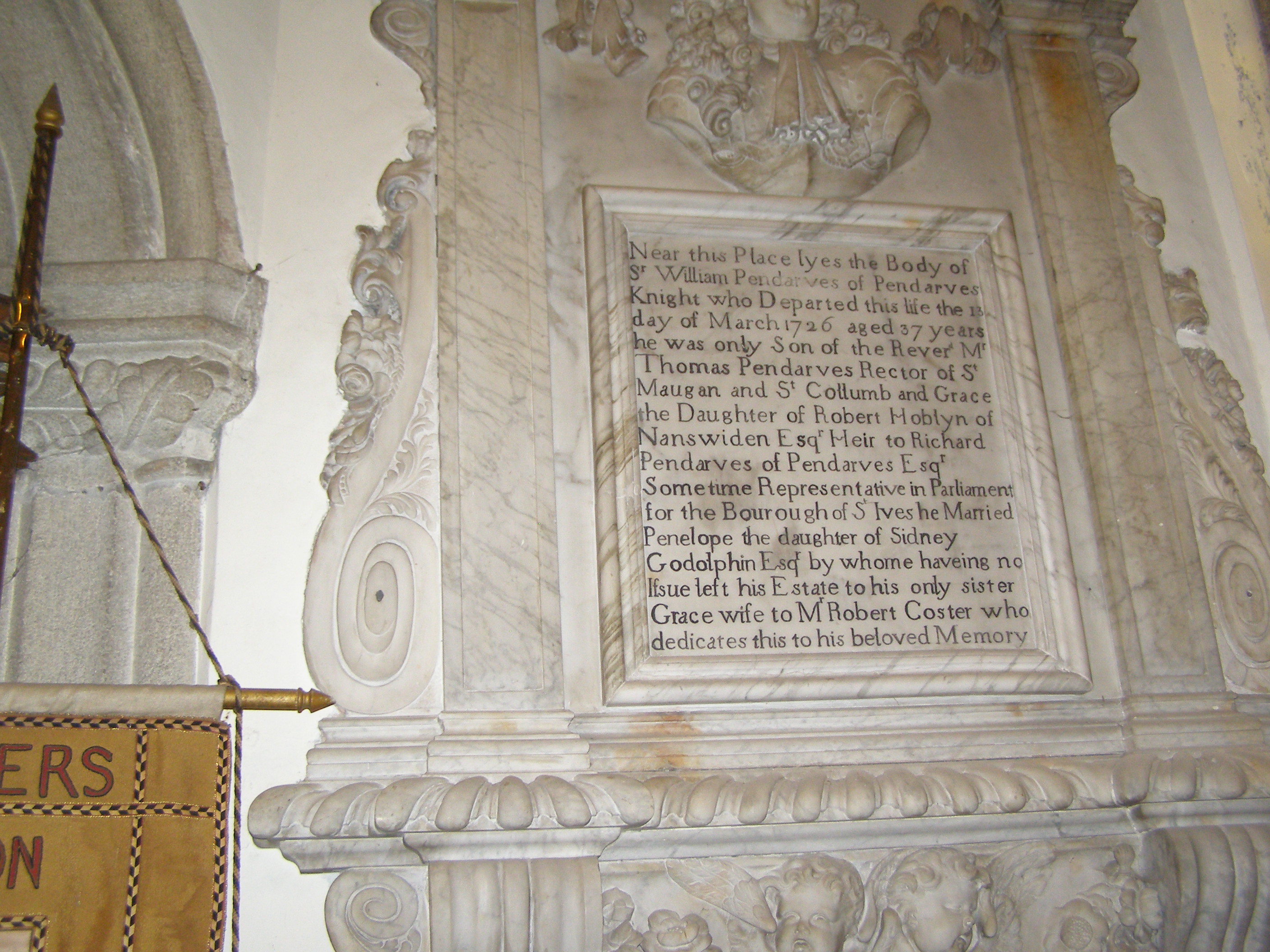
Camborne church's memorial to the Pendarves Family  Higher-res image |
|
South Crofty mine in Camborne 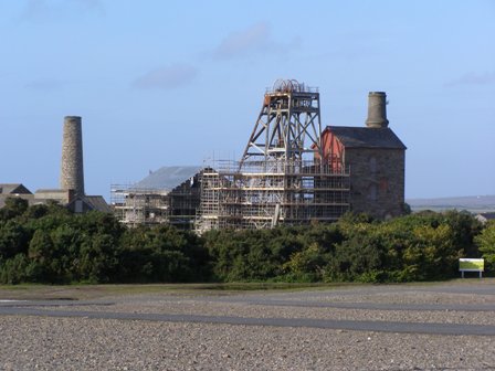 Higher-res image |
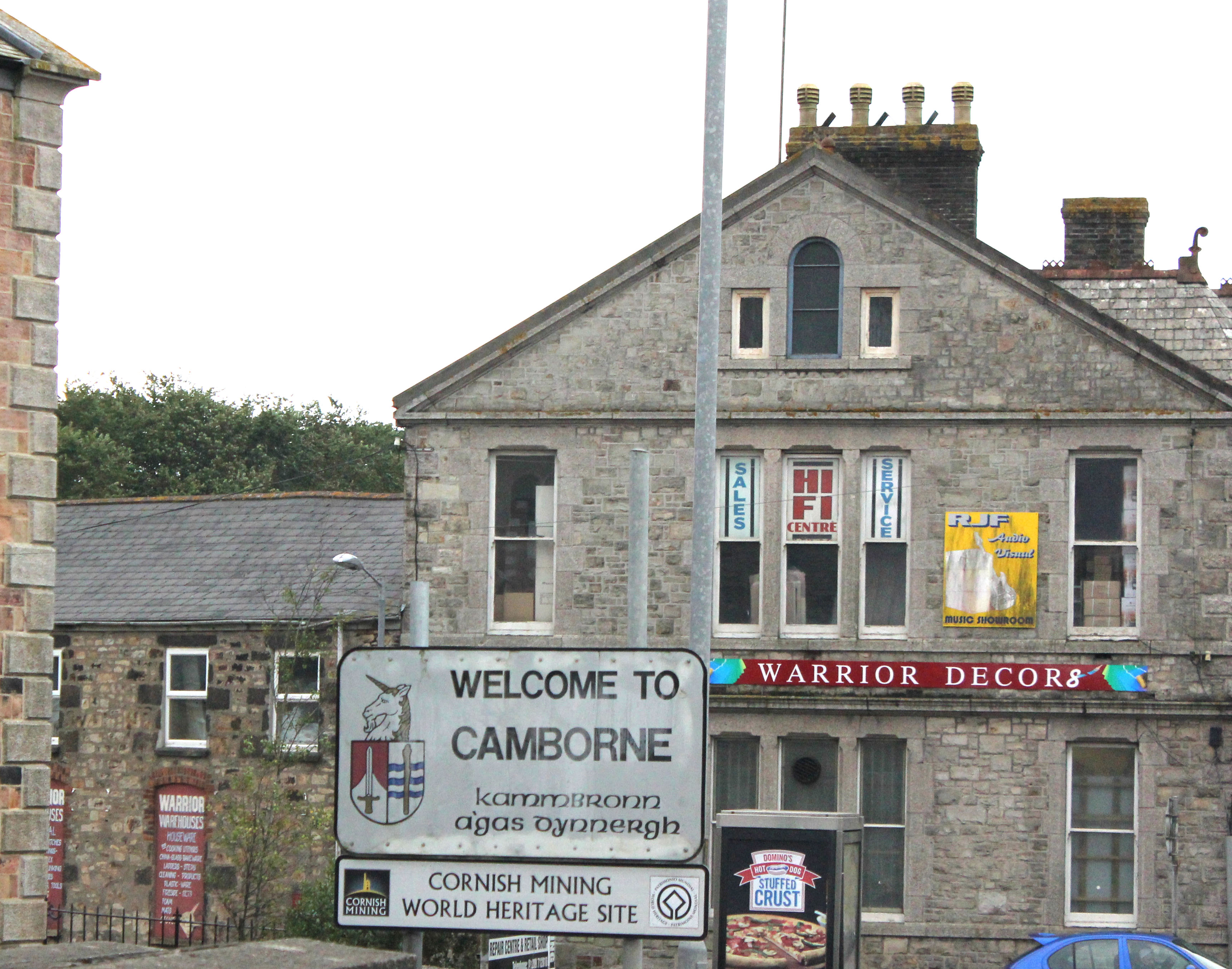
Camborne sign 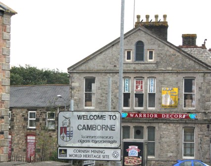 Higher-res image |
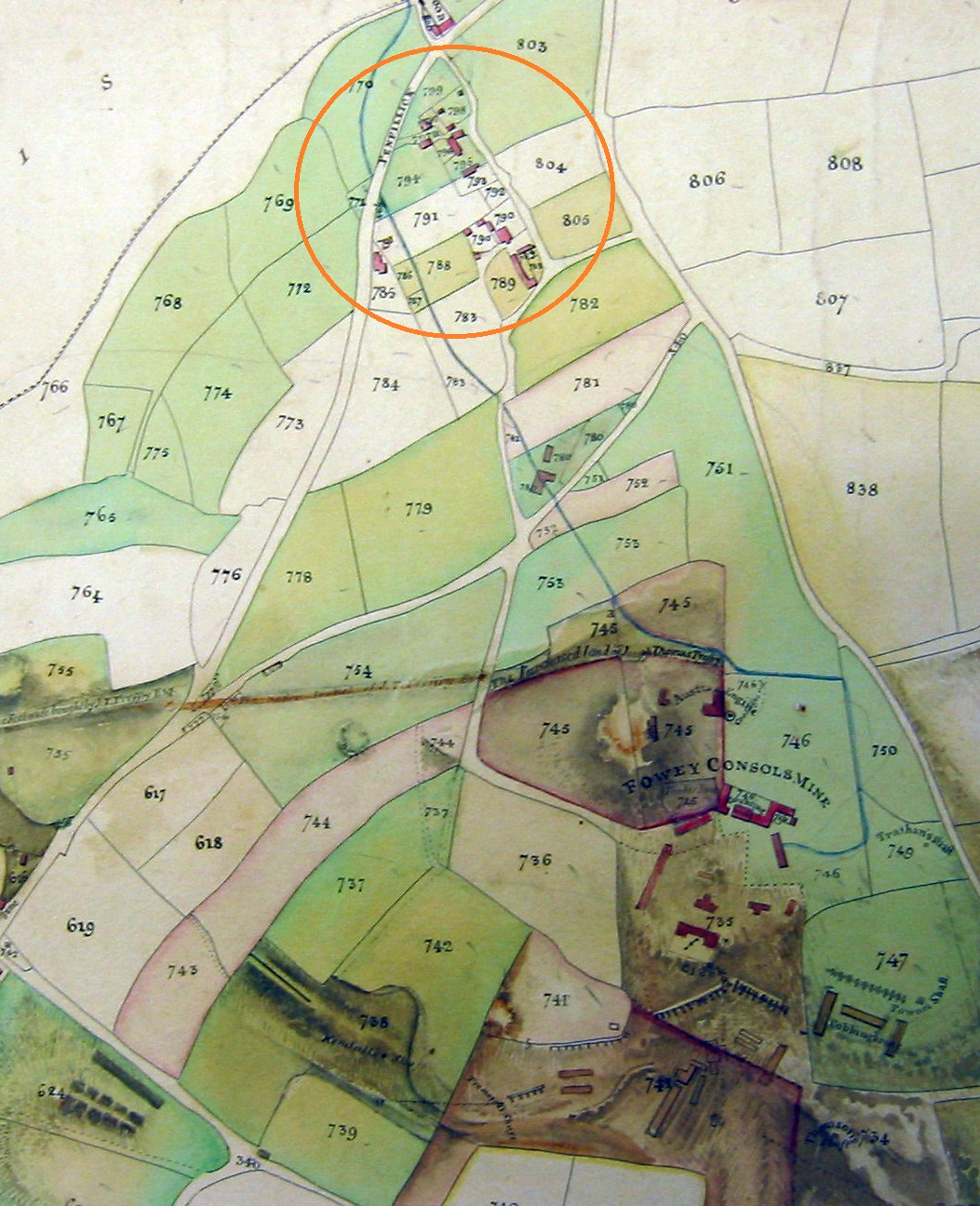
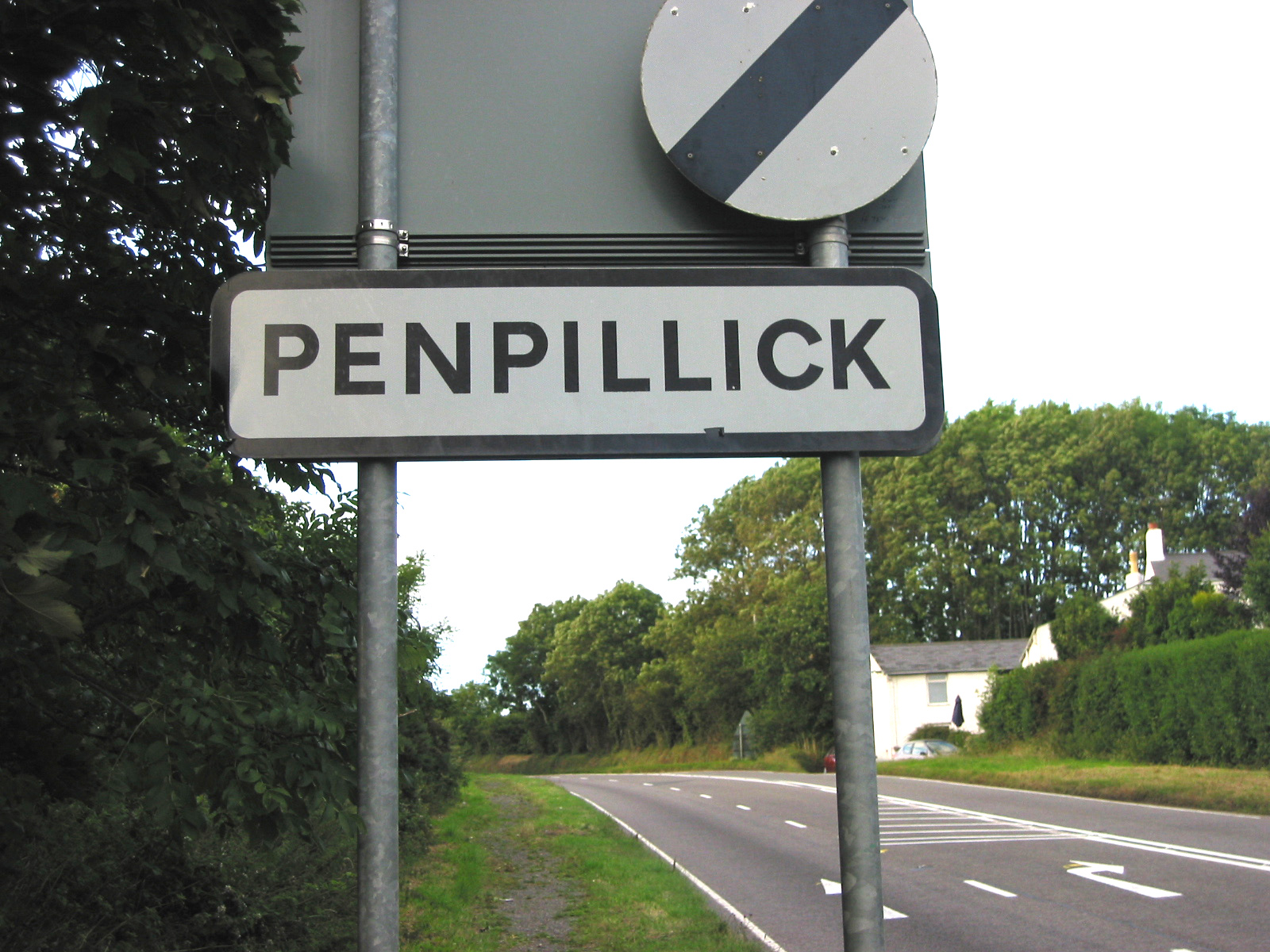
MID to EASTERN CORNWALL: from about 1820 family members lived and worked in these locations: St Stephen, Penpillick/Lanescot, Tywardreath, Lanlivery, Cardinham (Bodmin) (1820 to about 1850), then St Ive, Merrymeet and Menheniot. After about three years in St Stephen, John moved to work at the Lanescot mine, living for at least some of the time at Penpillick village. The Lanescot mine became part of the large Fowey Consols mine near Tywardreath.
|
Mid and Eastern Cornwall map showing locations where family lived and/or worked 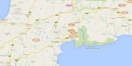 Higher-res image |
LANESCOT, FOWEY and PENPILLICK area
|
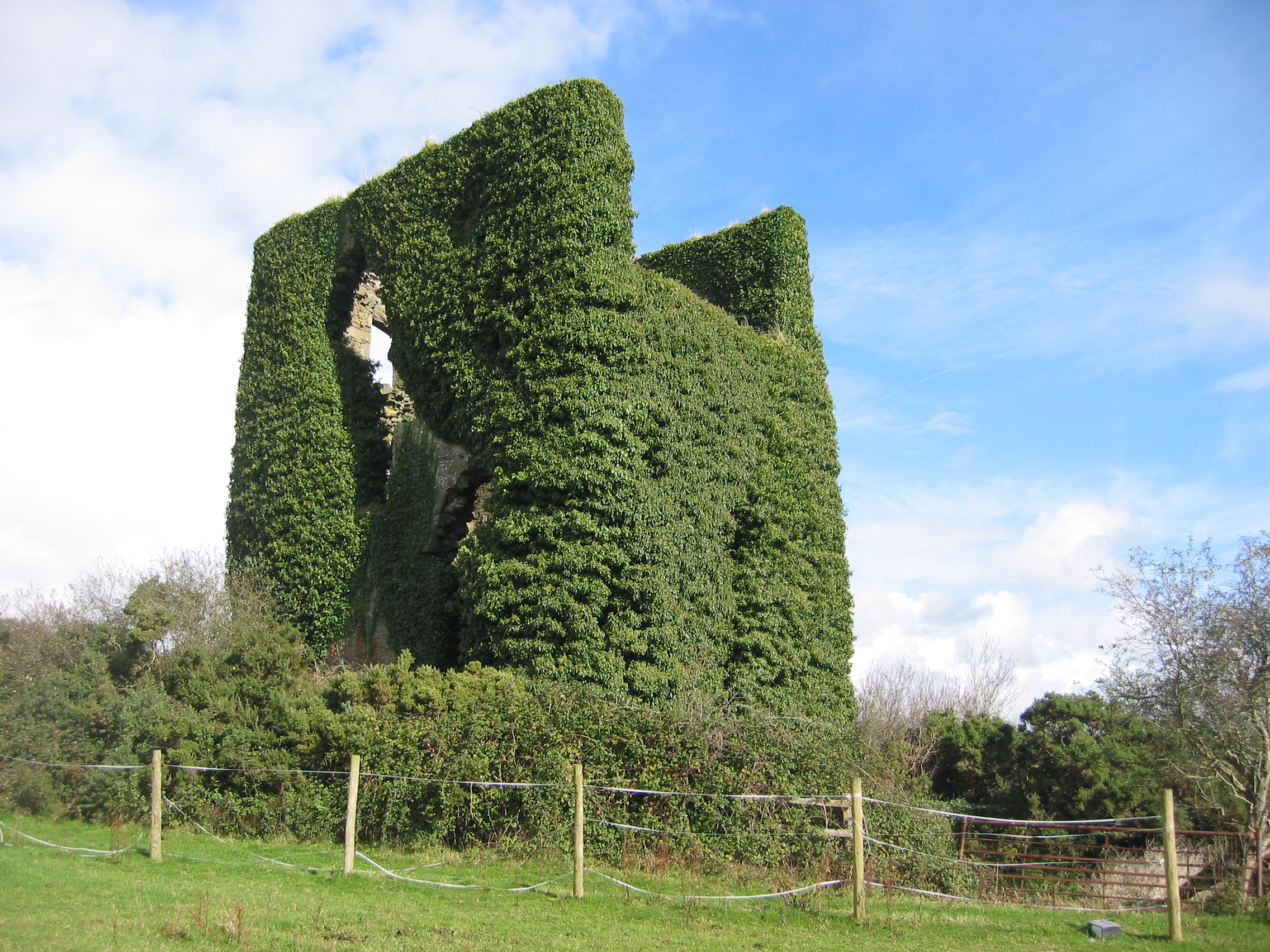
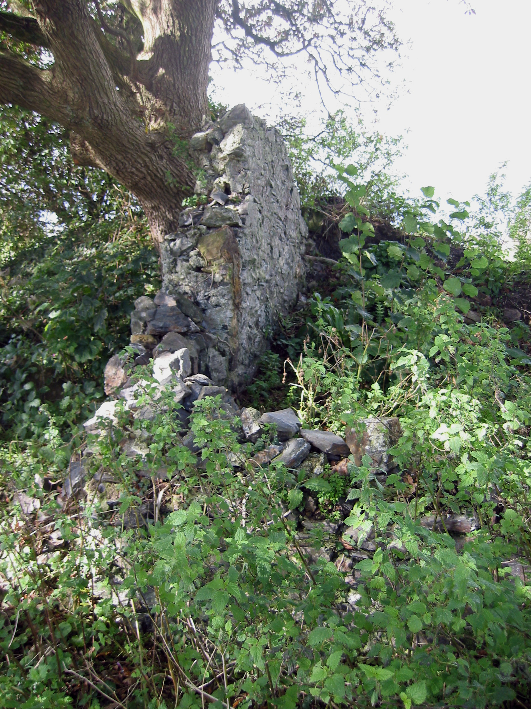
Remains of Austen Engine House at Lanescot mine 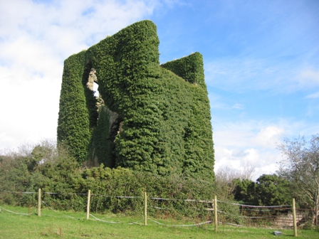 Higher-res image |
Other ruins at Lanescot  Higher-res image |
|
1841 map showing Fowey Consols Mine (right lower half) and Penpillick (circled)  Higher-res image |
Penpillick sign 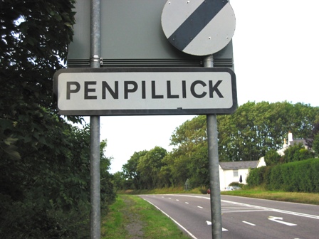 Higher-res image |
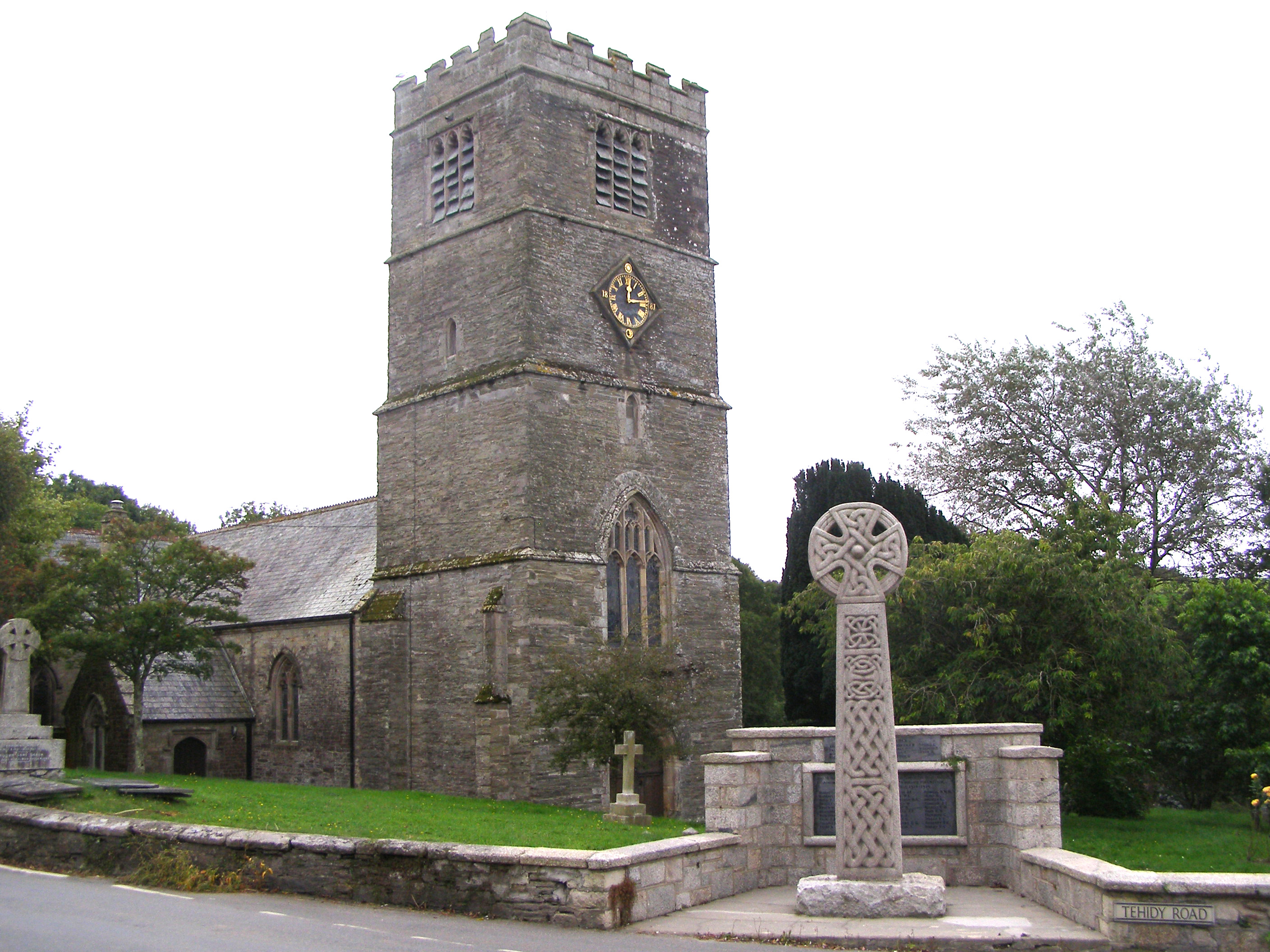
TYWARDREATH area: The family used the Tywardreath parish church for baptisms, marriages and burials, but most likely would have worshipped at a Methodist chapel. Burial services would have been for John's father Ralph (d.1828), John (d.1843) and Mary (d.1851), all of whom died in Tywardreath parish.
|
John's son James was married in this church; his wife came from nearby Lanlivery parish. 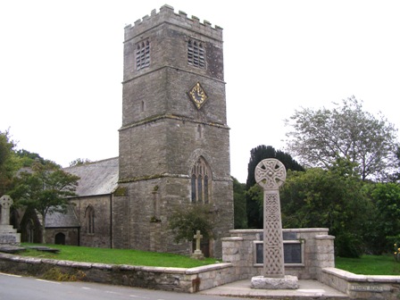 Higher-res image |
Tywardreath sign  Higher-res image |
|
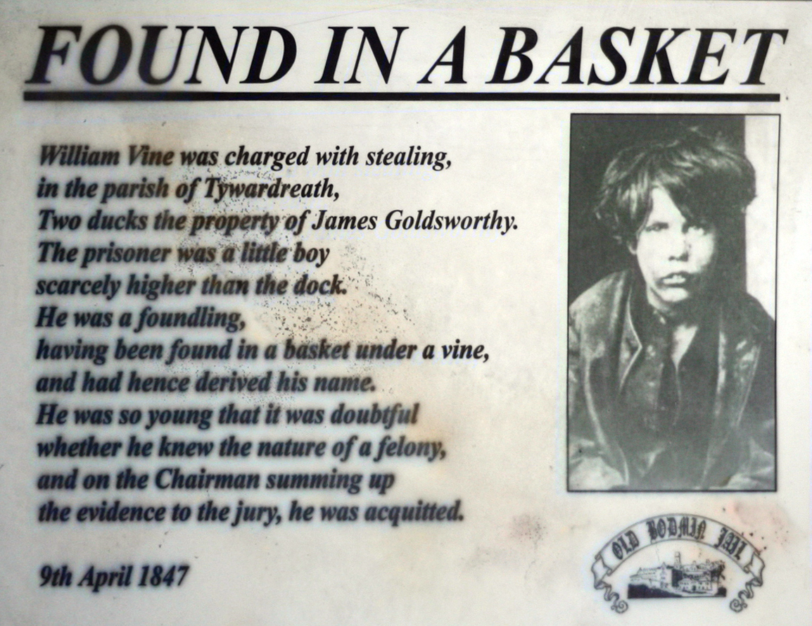
This snippet from Bodmin Jail may have related to our James. 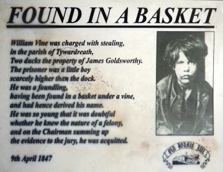 Higher-res image |
Lanlivery sign  Higher-res image |
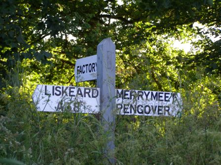
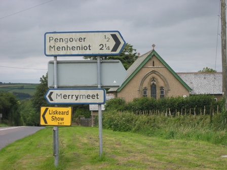
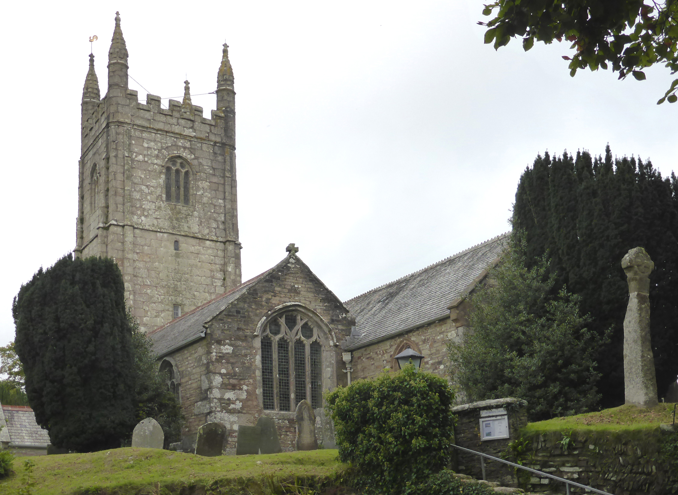
BODMIN and MENHENIOT areas: John's son Richard and his family lived in Cardinham from 1844 to 1846; John's oldest son John and his family lived in Factory, near Menheniot, in the 1850s; James and family moved to the St Ive area at about the same time, then to Merrymeet; John's son Francis and his family lived in Menheniot village at that time (before moving even further east to Stoke Climsland, near the Devon border).
|
Cardinham church 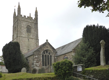 Higher-res image |
Cardinham sign 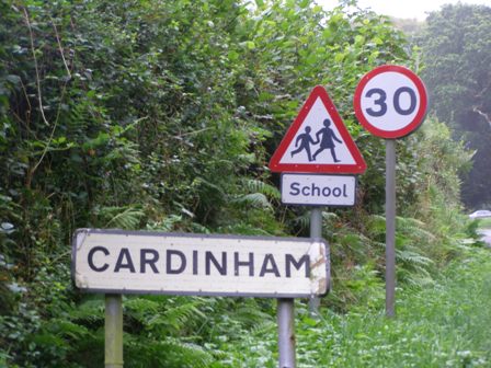 Higher-res image |
|
Terrace housing in Factory near Menheniot 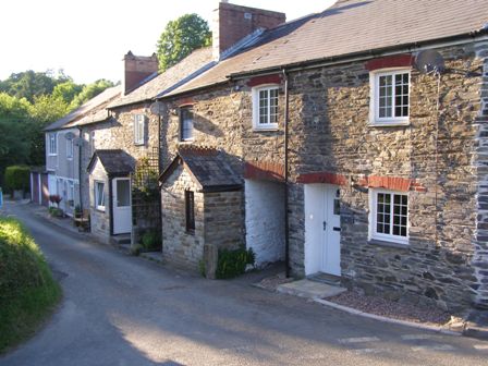 Higher-res image |
 Higher-res image |
|
Terrace housing in Merrymeet  Higher-res image |
 Higher-res image |
|
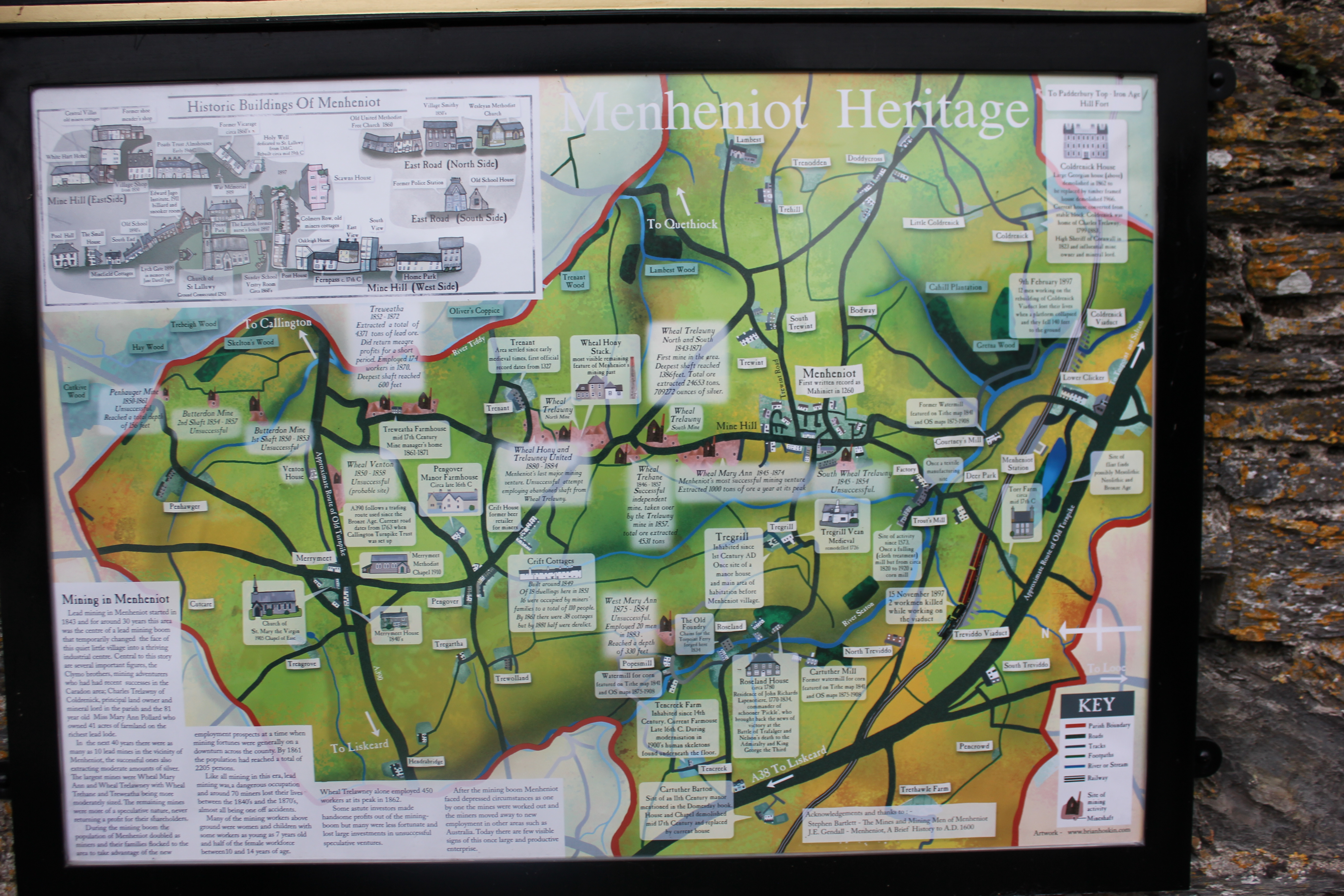
Historic map in Menheniot 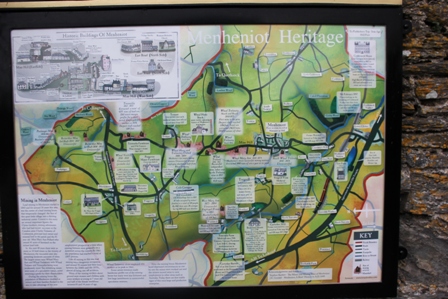 Higher-res image |
Zoom-in on map in Menheniot 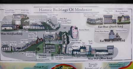 Higher-res image |
|
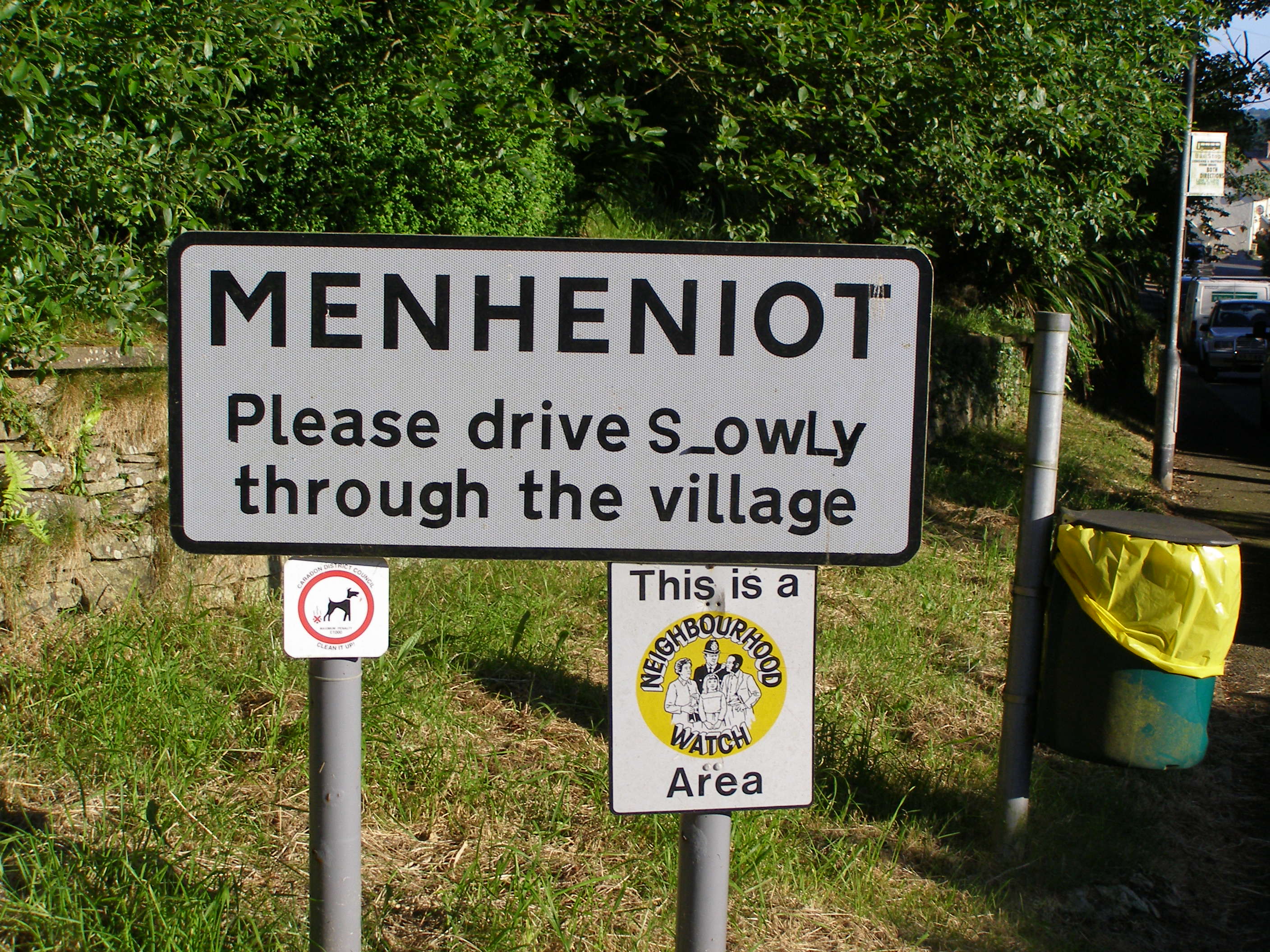
Menheniot sign 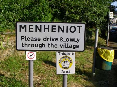 Higher-res image |
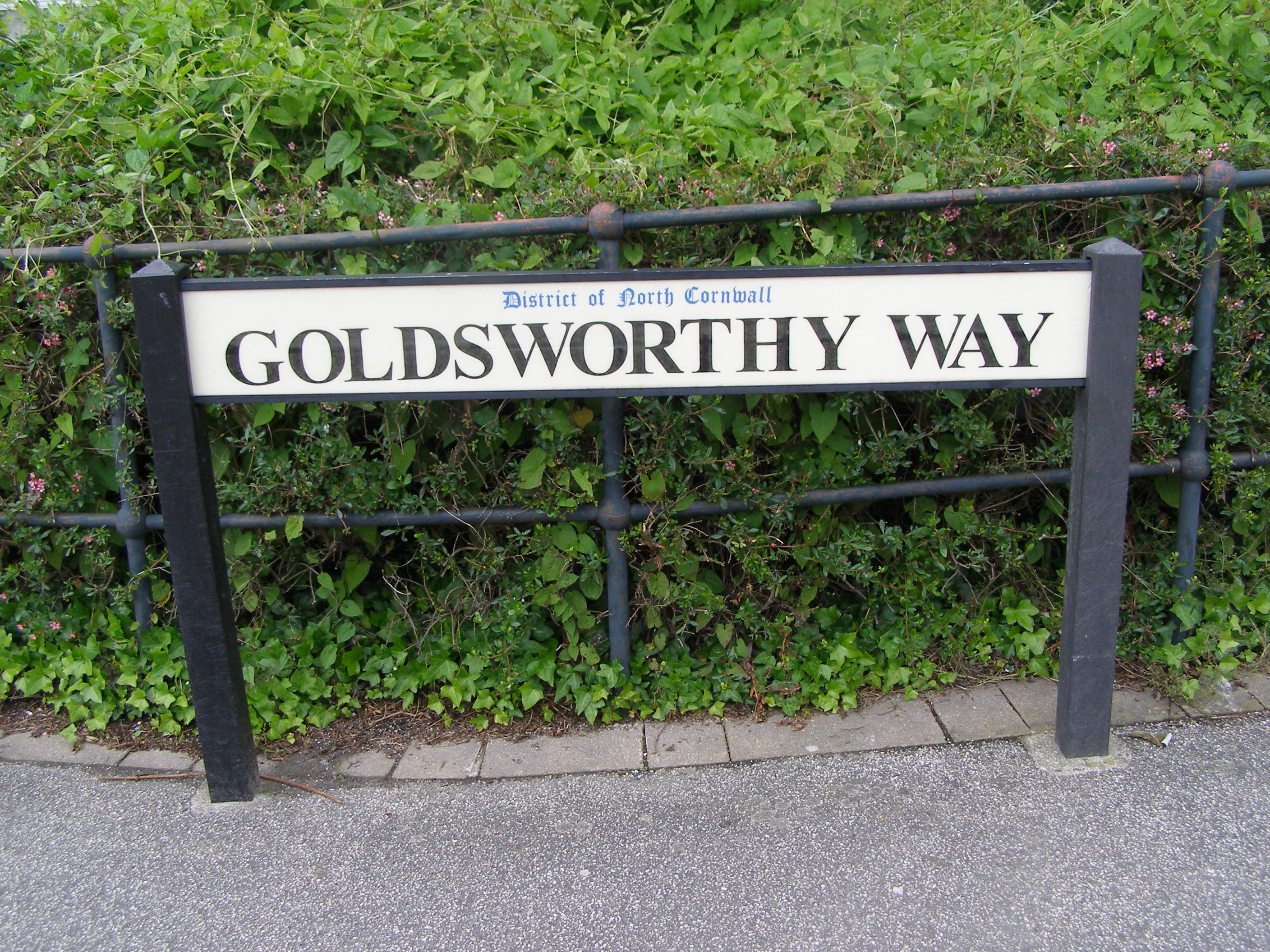
Goldsworthy street sign near Wadebridge, northeast from Bodmin 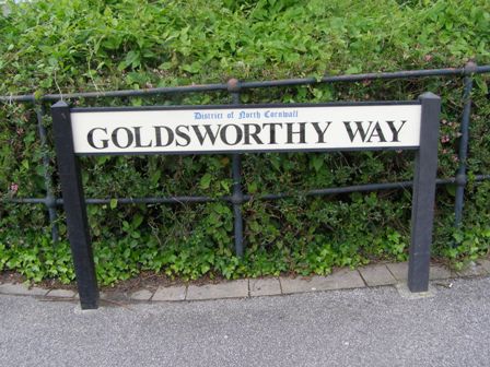 Higher-res image |